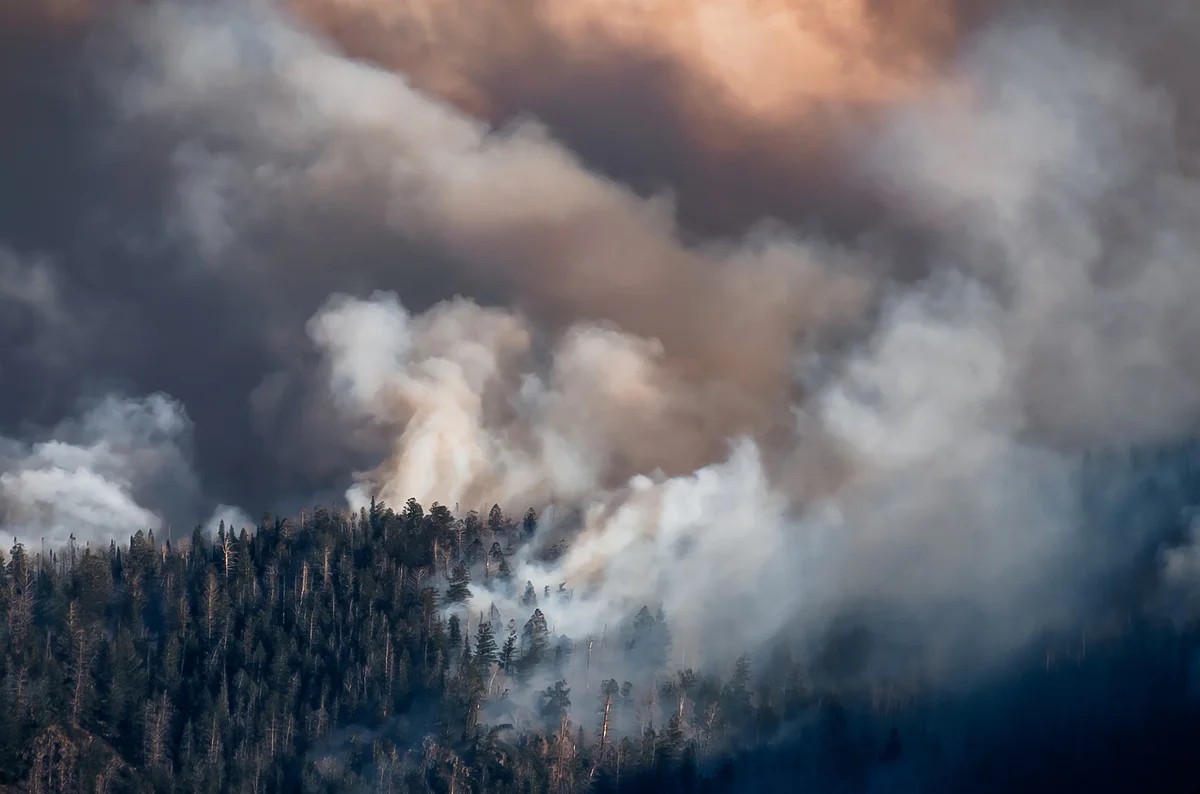
It started with a nightmare. The summer of 1910 was blisteringly hot and bone-dry. Lightning strikes and human sparks ignited 1,736 separate fires across the American Northwest. Hurricane-force winds turned those scattered sparks into a three-million-acre inferno. The fire destroyed towns. It killed nearly 90 people. One forester watched walls of flame rise hundreds of feet into the air, describing them as a “veritable red demon from hell.”
They called it the “Big Burn.”
It remains the largest forest fire in U.S history. But relying on memory isn’t a strategy. Climate change and sprawl have made the landscape tinder. We are seeing more smoke, more deaths, and more destruction. Wildfires now kill about two dozen people a year on average. They cost hundreds of billions. In the last decade alone, they incinerated 97,000+ structures.
The problem is getting worse because the seasons are overlapping. Firefighting crews and equipment are stretched thin across state and even national borders. Fighting back is hard when you’re spread too thin.
The solution isn’t just better buckets of water. It’s earlier detection.
For a century after the Big Burn, we didn’t change much. Now, we’re finally catching up.
“All of these technologies are coming together, positioning us in a better place.” — Neal Driscoll, ALERTCalifornia
From Watchtowers to Digital Eyes
The evolution started right after the Big Burn. The young U.S. Forest Service took the money and built towers. They put lookouts on mountain tops, on high platforms, and in trees. If conditions were perfect, you could see for miles. By 1930, there were over 8,000 towers across the country.
Lookouts lived rough. No running water. Little electricity. They sat there, watching the horizon, scanning for anomalies. A faint haze. A broken tree.
“Your whole life is built around looking through those windows,” Michael Guerin told reporters. “Your heart starts to race when you see your first smoke.”
They used Osborne Fire Finders to pinpoint locations. These surveying tools didn’t need electricity. Some are still used today alongside GPS. But staffing and maintaining those towers was expensive. Many were demolished. Only a few hundred remain active. Even where they stand, they can’t see everything. You can’t cover every fire-prone acre with human eyes.
We tried satellites next.
Since 1980, we’ve used them. NOAA-6 spotted burning methane in the Persian Gulf back then. Now, dedicated instruments track global activity. But there’s a gap in the middle. Geostationary satellites hang high and steady. They see big, late-stage fires. But they’re too far away to catch the small, early burns that are easiest to stop. Low-Earth orbit satellites see the small stuff, but they only pass over a spot three or four times a day. Fast-moving fires don’t wait for a satellite pass.
The Satellite Constellation Fix
Earth Fire Alliance is trying to bridge that gap. They’re building a constellation of over 50 satellites.
The logic is simple. Put enough small satellites close to Earth in a grid. They can photograph small fires frequently. They can track fast-moving conflagrations in near real-time. A prototype launched last year. Three more went up earlier this month. The rest are coming over the next four years.
Early results? They spotted tiny roadside fires in Oregon sparked by trailer chains dragging on the highway.
“It was started by somebody dragging trailer chains… they never got to be more than half an acre. We were able to see them from space,” lead scientist Michael Falkowski said.
That’s the holy grail: catching a fire before it becomes a headline.
Eyes on the Ground (And in the Cloud)
Satellites help, but camera systems provide the ground truth. California leads the pack. ALERTCalifornia runs a network of over 1,200 cameras. Firefighters and researchers watch the feeds.
They don’t just spot fires. They track expansion. They figure out resource allocation. They find safe routes for crews.
“Often we beat the 911 dial.”
That’s Neal Driscoll again. The real win? Fires you never hear about because AI caught them early. They went out before they had names.
Between 2019 and 2033, the network doubled its sensor count. Now, it’s integrating AI to watch when humans can’t. It’s the third generation of systems at UC San Diego.
Zachary Wells, deputy fire chief in Kern County, saw the difference this season. Two fires started minutes apart. Without tech, 911 calls might have lumped them together as one blaze. AI notifications told Wells they were separate.
“I could say with 100 percent confidenty this is a new fire… Our chief officers were able to divert equipment.”
They had enough resources to handle both starts. They didn’t have to scramble later when both became mega-fires.
Other Western states have similar setups. Oregon, Nevada, Arizona. Installation costs are high. Dense vegetation and rain can blind the sensors. But the existence of these tools changes the calculus. Emergency responders today have advantages unimaginable to the crews facing the Big Burn.
We can’t promise the 2026 season won’t be tough. It’s already looking hot. But the odds shift slightly better when you know about the fire before the neighborhood does.
“Using technology to enhance our ability to make decision has really benefited us. We only see that growing.”